Original: $12.94
-65%$12.94
$4.53The Story
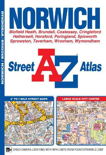
This A-Z map of Norwich is a full colour atlas featuring 37 pages of street mapping which includes:
•Blofield
•Blofield Heath
•Brundall
•Cringleford
•Hethersett
•Norwich Airport
•Poringland
•Spixworth
•Sprowston
•Taverham
•Wroxham
•Wymondham
In addition, there is an inset map of Horsford and a large scale city centre map of Norwich.
Postcode districts, one-way streets, park and ride sites, safety camera locations with speed limits and The Broads Authority Boundary are also featured on the mapping.
The index section lists streets; selected flats, walkways and places of interest; place, area and station names; hospitals and hospices covered by this atlas.
Description
This A-Z map of Norwich is a full colour atlas featuring 37 pages of street mapping which includes:
•Blofield
•Blofield Heath
•Brundall
•Cringleford
•Hethersett
•Norwich Airport
•Poringland
•Spixworth
•Sprowston
•Taverham
•Wroxham
•Wymondham
In addition, there is an inset map of Horsford and a large scale city centre map of Norwich.
Postcode districts, one-way streets, park and ride sites, safety camera locations with speed limits and The Broads Authority Boundary are also featured on the mapping.
The index section lists streets; selected flats, walkways and places of interest; place, area and station names; hospitals and hospices covered by this atlas.